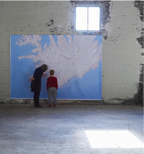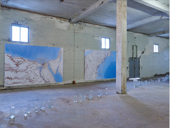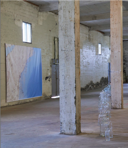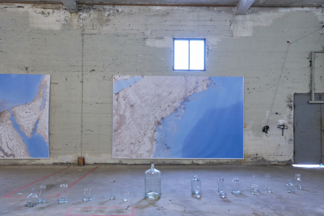
The installations Future Cartography VIII, and Water Balance II, were shown at the exhibition Hverfing | Shapeshifting at the Verksmiðjan/Factory in the North of Iceland in 2017.
Future Cartography VIII involves three maps, each 250 cm in height that the artist has drawn. Each map is a partial maps, and they show the shorelines at the south-east Mediterranean Sea, the east coast of North America, and the south-west coast of Iceland, as these might look if the east shelf of the Antarctic ice shelf melts.
In Water Balance II glass vessels of various sizes and shapes form a procession snaking along the floor. The vessels are partly filled with water. Each vessel represents an individual and the processioncan can be seen as the flight of refugees. Water is the most precious element for life.
Photographs by Pétur Thomsen